Published on
May 23, 2022
Remote Sensing and Data Tools for Environmental Investigations
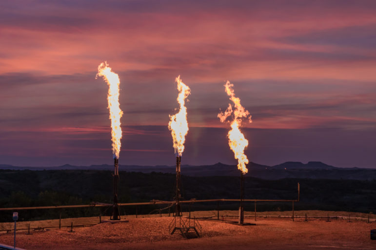
Journalists can use the SkyTruth Flaring Map database to explore natural gas flaring, which can add large amounts of carbon dioxide and methane to the atmosphere. Image: Shutterstock Welcome to the GIJN Toolbox, in which we survey the latest tips and tools …
Source:
Global Investigative Journalism Network
-
Neutral